
Mississippi Gulf Coast Roof Documentation
Drone roof inspections without the ladder risk.
Kaptsure captures high-resolution aerial images that help contractors and property owners see and document roof conditions from useful angles—without unnecessary roof access.
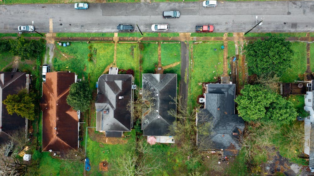
A clear visual record of the roof and surrounding property.
A drone flight can document roof planes, ridgelines, valleys, penetrations, edges, flashing areas, drainage paths, and other visible exterior details. The result is a practical set of images that can be reviewed from the ground, shared with a project team, or retained as a dated property-condition record.
This service is especially useful when a roof is steep, elevated, fragile, wet, or otherwise difficult to access safely. Drone imagery does not replace a licensed engineer, insurance adjuster, roofing professional, or hands-on inspection when one is required. It gives those professionals and property owners better visual information for the next step.
Useful for planning, estimates, and documentation.
Contractor estimates and project planning
Roofers and contractors can use current aerial imagery to understand access, roof geometry, visible conditions, and surrounding obstacles before an on-site evaluation or estimate. Images can also document progress or completed exterior work.
Storm and insurance documentation
After wind, hail, or severe weather, a timely flight can create a visual record of visible roof and property conditions. Kaptsure supplies the imagery; claim coverage, damage determinations, and repair recommendations remain with the appropriate licensed professionals and insurance representatives. Learn more about our focused insurance and storm documentation service.
Property-condition records
Owners, property managers, buyers, and commercial teams may need an exterior record before a transaction, repair, lease period, maintenance cycle, or construction project. Repeat flights can provide consistent visual documentation over time.
Residential and commercial roof imagery.
Kaptsure works with homes, multifamily properties, offices, retail buildings, and other commercial sites where safe aerial access is practical and permitted. Before the flight, we confirm the property location, the areas that matter most, and how the images will be used.
- High-resolution overview and detail images from useful aerial angles
- Coverage planned around the roof, site access, airspace, and weather
- Organized digital files that are easy to review and share
- Optional broader property context when it supports the project
Serving the Mississippi Gulf Coast.
Kaptsure provides drone roof documentation in Gautier, Ocean Springs, Pascagoula, Biloxi, Gulfport, and surrounding Gulf Coast communities. Coastal weather can change flight timing, so scheduling accounts for wind, rain, site conditions, and applicable airspace requirements.
Tell us the property address, the purpose of the flight, and the areas you need captured. We will confirm whether drone imagery is a good fit and outline the next step.