
Mississippi Gulf Coast Aerial Media
Real estate drone photography that shows the whole property.
Professional aerial photos and video help buyers understand scale, setting, access, waterfront features, land, and location context that ground-level images cannot show alone.
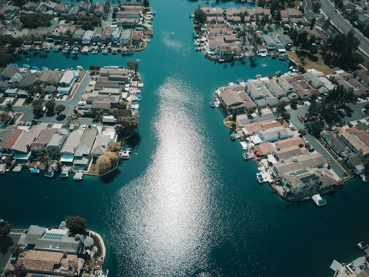
Give buyers the context they need before a showing.
Traditional listing photography explains rooms and finishes. Aerial media explains how the property fits together: the home’s position on the lot, driveway and access, nearby water, outdoor features, adjacent land, and the relationship between buildings.
Kaptsure plans each flight around the property’s strongest visual story rather than using the same shot list everywhere. The final media is designed to complement—not replace—the interior and ground-level photography used in a complete listing package.
Aerial media for different property types.
Homes and waterfront listings
Aerial views can show yard size, pools, docks, shoreline context, nearby waterways, and the property’s overall setting. For Gulf Coast listings, that broader perspective often answers location questions that are hard to communicate from the street.
Land and acreage
Elevated imagery helps buyers understand shape, access points, existing improvements, vegetation, and surrounding land. Flights can be coordinated with maps or listing details, but imagery should not be treated as a survey or boundary determination.
Commercial and investment property
Commercial aerial media can show building placement, parking, access, neighboring uses, and the scale of the site. It is useful for listing presentations, marketing packages, owner updates, and property overviews.
Photos, video, and marketing-ready delivery.
The right deliverables depend on where the property will be marketed. Kaptsure can capture polished still images for MLS and listing pages, short aerial video sequences for websites and social media, or a coordinated set that gives agents flexibility across channels.
- High-resolution aerial photographs from varied elevations and directions
- Video movements that establish the property and surrounding area
- Waterfront, land, neighborhood, or commercial-site context where relevant
- Digital files prepared for straightforward marketing use
Agents should confirm current MLS rules, platform specifications, and any required disclosures before publication. We can coordinate framing and file needs in advance so the flight supports the intended campaign.
Local coverage across the Mississippi Gulf Coast.
Kaptsure serves real estate professionals, property owners, and marketing teams in Gautier, Ocean Springs, Pascagoula, Biloxi, Gulfport, and surrounding communities. Flights are scheduled around weather, light, site access, and applicable airspace rules.
Send the property address, target listing date, and the features that matter most. We will recommend a practical aerial scope and coordinate timing with your broader marketing plan.