
Mississippi Gulf Coast Property Documentation
Clear visual documentation before and after the work.
Kaptsure captures high-resolution aerial and ground-level photos and video that help property owners, contractors, and insurance professionals maintain an organized visual record after storms, before repairs, and when work is complete.
Visual evidence, delivered without making the determination.
Good documentation shows what was visible at a particular time. Kaptsure can capture roof surfaces, exterior elevations, site conditions, debris, affected areas, and the broader relationship between structures and the property. Ground-level images can be added when they provide useful detail or context.
Kaptsure provides imagery and organized visual records. We are not an insurance or public adjuster, engineer, licensed home inspector, or claim decision-maker. We do not determine cause of loss, coverage, repair scope, structural condition, or claim value. Those conclusions belong to the appropriate licensed professionals and insurance parties.
Documentation for each stage of the response.
Post-storm and visible-condition imagery
A prompt flight can create an overview of visible roof and exterior conditions after wind, hail, heavy rain, or another weather event. Wide views establish property context; closer aerial angles and ground-level images document specific areas that can be safely captured.
Pre-repair documentation
Before roofing or exterior work begins, dated imagery can preserve a visual record of the accessible conditions and project area. Contractors and owners can use it to support estimating conversations, project files, and communication with other professionals.
During- and post-repair documentation
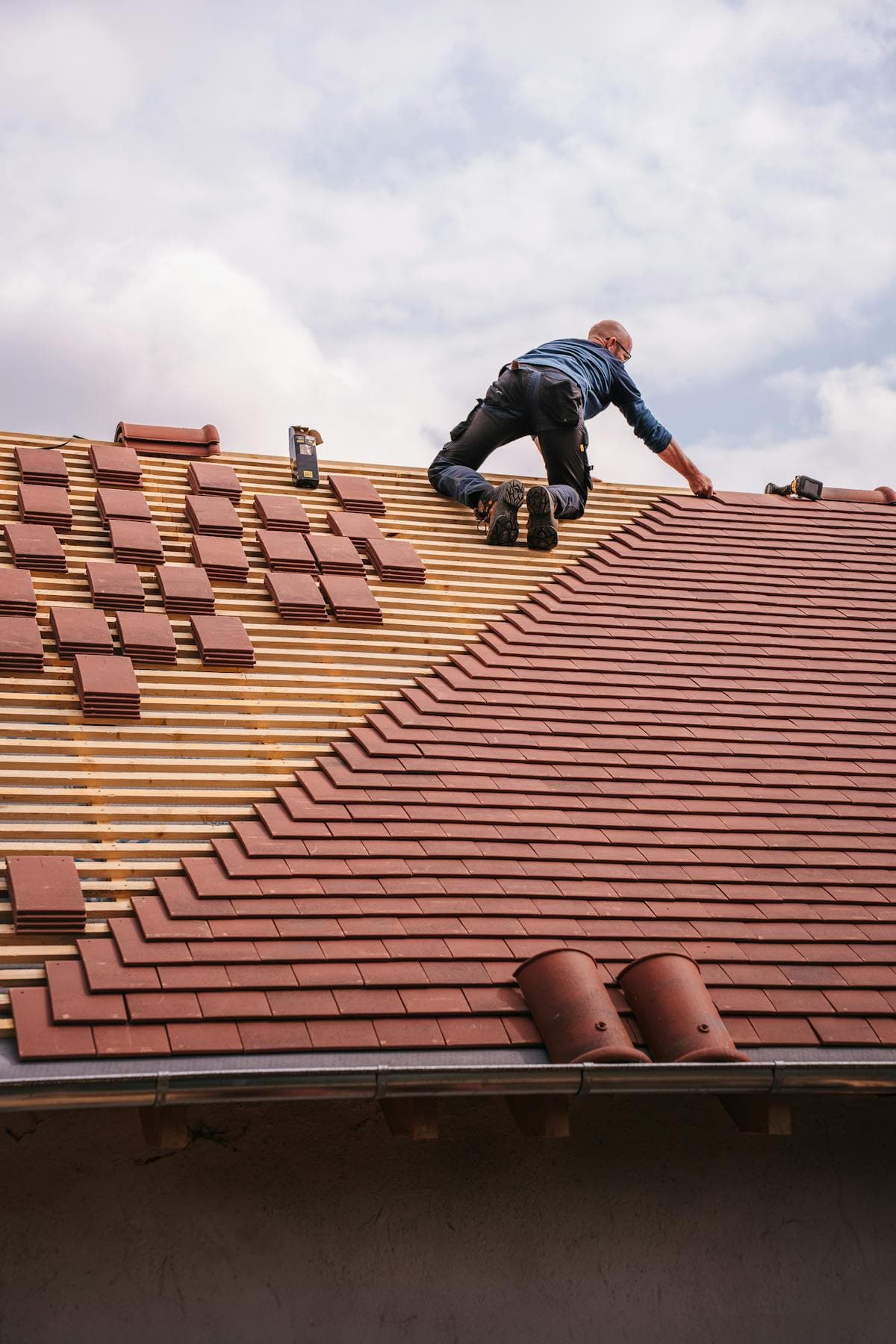
Follow-up photography can show work in progress and the visible result after completion. A before-and-after set helps teams communicate what changed without relying on memory or inconsistent phone photos from different viewpoints.
Useful files for owners, contractors, and insurance support.
The most valuable deliverable is one that the people involved can review quickly. Before the flight, Kaptsure confirms the property, priority areas, intended audience, and whether aerial photos, ground photos, video, or a combination will be most useful.
- High-resolution roof, exterior, and site overview photographs
- Ground-level details where access is safe and the view adds context
- Aerial or ground video when movement and spatial context are helpful
- Pre-repair, progress, and post-repair image sets
- Organized digital files suitable for sharing with project and insurance professionals
If a specialist needs a specific angle or area documented, their shot requirements can be incorporated when flight conditions, access, safety, and regulations allow.
Serving coastal Mississippi when conditions allow.
Kaptsure serves Gautier, Ocean Springs, Pascagoula, Biloxi, Gulfport, and surrounding Mississippi Gulf Coast communities. Storm response can involve wind, rain, restricted access, emergency operations, and changing airspace. Safety and legal flight conditions determine when and how the property can be documented.
Share the address, the event or project timeline, the areas that need coverage, and who will use the files. We will recommend a practical documentation scope and explain what can be captured.